Lake Tahoe Road Conditions: Chain Controls and Live Cameras
Road cameras on every main road into Lake Tahoe, from Truckee to South Lake Tahoe and the Nevada side, with Caltrans chain controls on the California roads. 53 of 53 cameras showed a live picture in the last 24 hours.
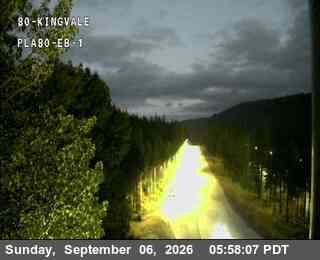 Verified · 40m
52 more cameras below, road by road ↓
Chain controls right now
- I-80 over Donner Summit No chain controls are in effect at this time. Nov 4, 12:39 PM PST
- US-50 over Echo Summit No chain controls are in effect at this time. Nov 4, 12:39 PM PST
- North Shore highways No chain controls are in effect at this time. Nov 4, 12:39 PM PST
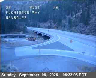
From Sacramento and the Bay Area: I-80 over Donner Summit to Truckee
- Chain controls · 12 locationsNo chain controls are in effect at this time.
Full closure: Closure for guardrail repair on I-80 (westbound) near Soda Springs. Lanes closed: All. Estimated delay 5 minutes. · Reported by Caltrans, updated 12m ago
1 more reported event on this route (1 roadwork)
- Roadwork: Lane for guardrail repair on I-80 (westbound) near Soda Springs. Lanes closed: 2, RShoulder. Estimated delay 5 minutes.
- Reported by Caltrans. Reports refresh about every 10 minutes.
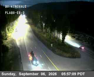 Verified · 10m
 Verified · 10m
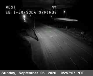 Verified · 45m
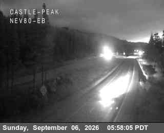 Verified · 55m
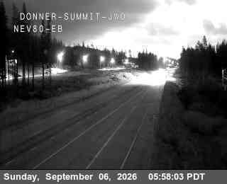 Verified · 10m
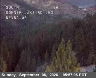 Verified · 55m
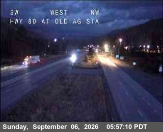 Verified · 10m
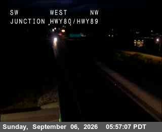 Verified · 29m
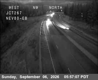 Verified · 55m
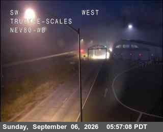 Verified · 10m
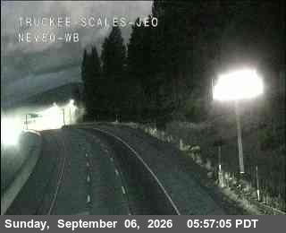 Verified · 45m
 Verified · 10m
More cameras and weather: Donner Pass
Whole highway: I-80 in California
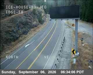
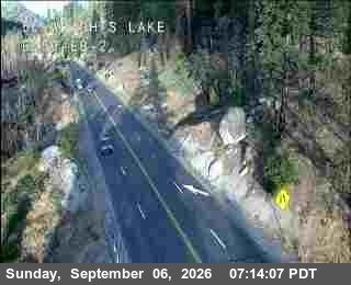
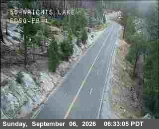
From Sacramento: US-50 over Echo Summit to South Lake Tahoe
- Chain controls · 18 locationsNo chain controls are in effect at this time.
1 reported event on this route (1 roadwork)
- Roadwork: Lane for drainage cleaning on US-50 (both directions) near South Lake Tahoe. Lanes closed: 1. Estimated delay 1 minutes.
- Reported by Caltrans. Reports refresh about every 10 minutes.
 Verified · 6h
 Verified · 9h
 Verified · 40m
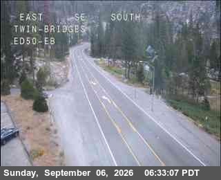 Verified · 40m
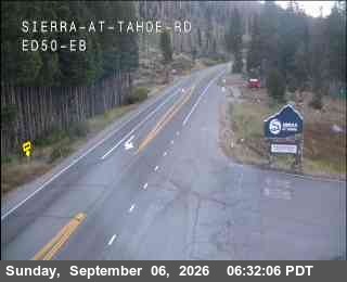 Verified · 8h
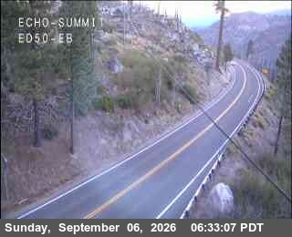 Verified · 29m
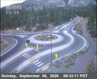 Verified · 40m
 Verified · 40m
 Verified · 55m
 Verified · 9h
 Verified · 7h
More cameras and weather: Echo Summit
Whole highway: US-50 in California, SR-89 in California
North Shore: Truckee, Highway 89, 267 and 28
- Chain controls · 17 locationsNo chain controls are in effect at this time.
5 reported events on this route (all roadwork)
- Roadwork: One-Way Traffic for striping operation on SR-89 (both directions) near Truckee. Lanes closed: 1.
- Roadwork: Alternating Lanes for striping operation on SR-89 (northbound) near Truckee. Lanes closed: 1.
- Roadwork: Alternating Lanes for striping operation on SR-89 (southbound) near Truckee. Lanes closed: 1.
- Roadwork: One-Way Traffic for utility work on SR-89 (both directions) near Truckee. Lanes closed: 1, RShoulder. Estimated delay 5 minutes.
- Roadwork: Minor Utility work on SR-28 Both Directions from Sweetwater Rd to Deer Ct. Shoulder Blocked. Start time: 11/3/2026 7:00 AM. End time: 11/13/2026 3:30 PM. Pub…
- Reported by Caltrans. Reports refresh about every 10 minutes.
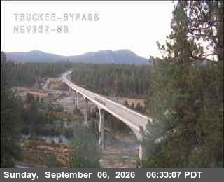 Verified · 9h
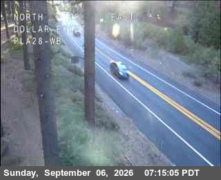 Verified · 5h
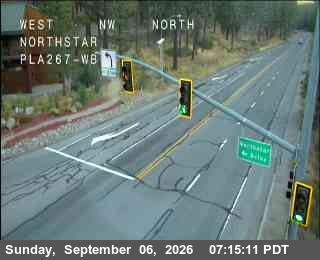 Verified · 40m
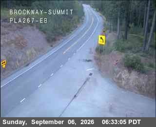 Verified · 45m
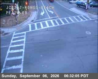 Verified · 6h
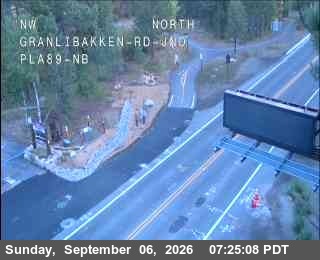 Verified · 10m
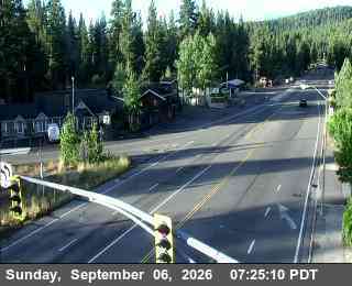 Verified · 6h
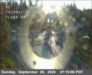 Verified · 29m
 Verified · 8h
 Verified · 1h
 Verified · 40m
 Verified · 55m
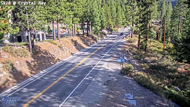 Verified · 3h
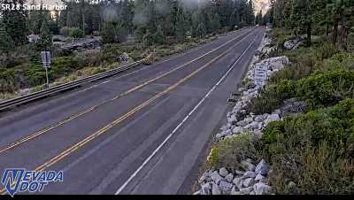 Verified · 4h
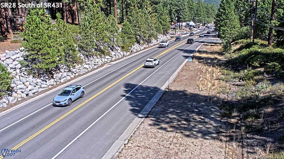 Verified · 4h
Whole highway: SR-267 in California, SR-28 in California, SR-28 in Nevada
From Reno and Carson City: Mt. Rose Highway, Spooner Summit and Kingsbury Grade
 Verified · 8h
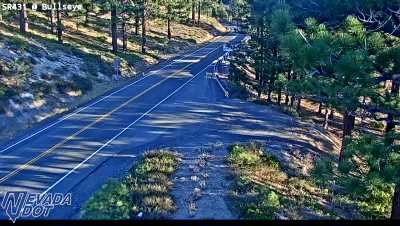 Verified · 59m
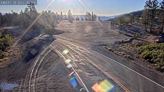 Verified · 6m
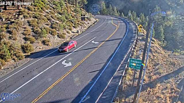 Verified · 5h
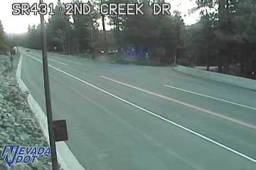 Verified · 15m
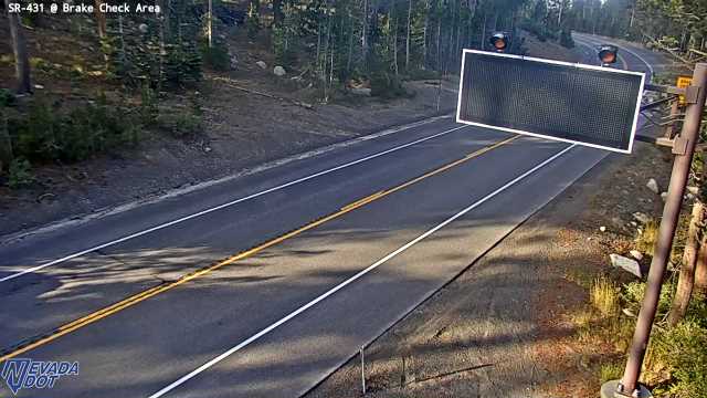 Verified · 32m
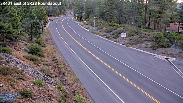 Verified · 18m
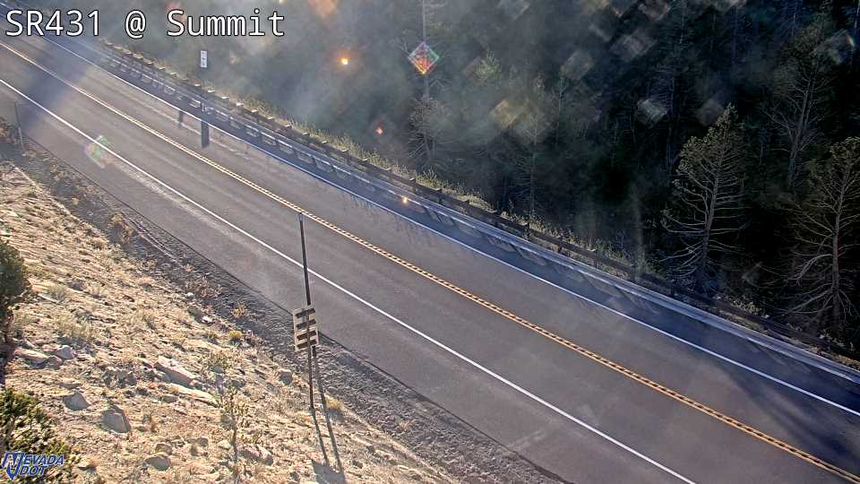 Verified · 28m
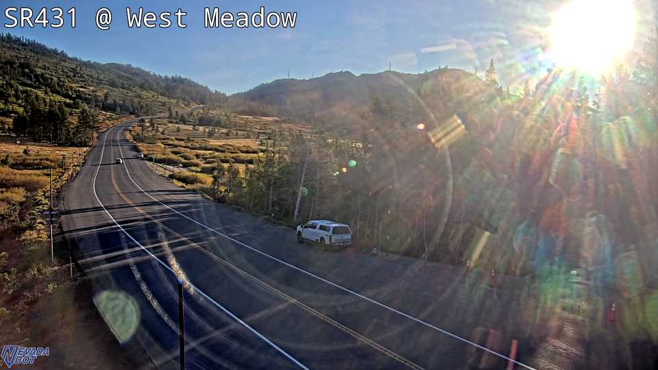 Verified · 35m
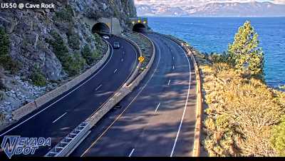 Verified · 2h
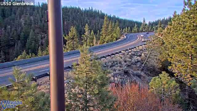 Verified · 46m
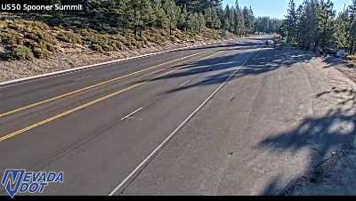 Verified · 1h
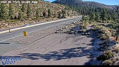 Verified · 42m
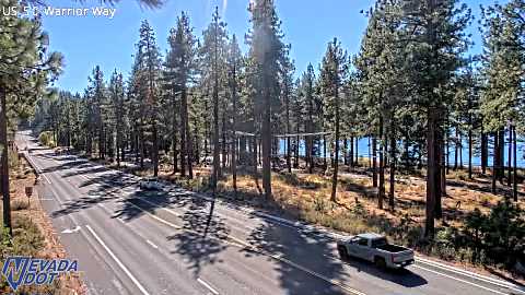 Verified · 47m
More cameras and weather: Mt Rose Summit, Spooner Summit
Whole highway: SR-431 in Nevada, US-50 in Nevada, SR-207 in Nevada
Highways to Lake Tahoe
- I-80 in California
- US-50 in California
- SR-89 in California
- SR-267 in California
- SR-28 in California
- SR-28 in Nevada
- SR-431 in Nevada
- US-50 in Nevada
- SR-207 in Nevada