Home / Traffic Cameras / Colorado / Breckenridge and Summit County Breckenridge and Summit County Road Conditions and Live Cameras Browse all destinations
CDOT road conditions and cameras on I-70, US 285, Highway 9 and US 6 into Summit County, for Breckenridge, Keystone, Copper Mountain and Arapahoe Basin. 87 of 88 cameras showed a live picture in the last 24 hours.
87 more cameras below, road by road ↓
Skip the map Cameras on the roads to Breckenridge and Summit County + − Reset
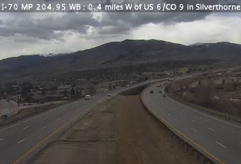
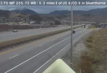
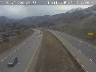
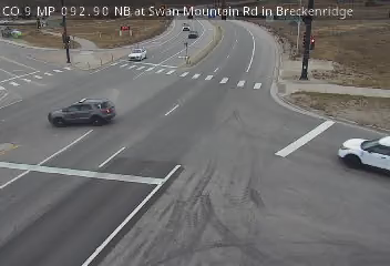
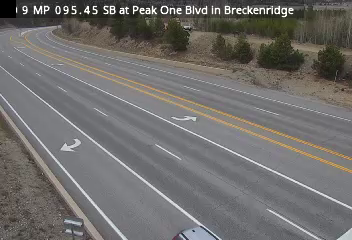
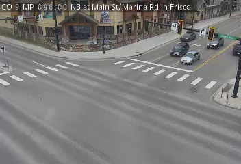
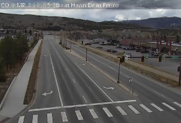
CO 91 MP 22.20 NB at Copper Rd in Copper Mountain CO 9 MP 86.15 SB at Broken Lance Dr in Breckenridge CO 9 MP 86.45 NB at S Main St in Breckenridge CO 9 MP 86.75 NB at Ski Hill Rd in Breckenridge CO 9 MP 87.20 NB at Airport Rd in Breckenridge CO 9 MP 87.35 SB at N Main St Ave in Breckenridge CO 9 MP 87.55 SB at Huron Rd in Breckenridge CO 9 MP 87.75 SB at Valley Brook St in Breckenridge CO 9 MP 89.20 SB at Coyne Valley Rd in Breckenridge CO 9 MP 90.00 SB at Fairview Blvd in Breckenridge CO 9 MP 90.25 NB at Tiger Rd/Shores Ln in Breckenridge CO 9 MP 92.90 NB at Swan Mountain Rd in Breckenridge CO 9 MP 95.45 SB at Peak One Blvd in Breckenridge CO 9 MP 96.05 NB at Marina Rd in Frisco CO 9 MP 96.65 SB at Hawn Dr in Frisco I-70 MP 185.00 WB, 4.8 miles W of Vail Pass Summit I-70 MP 186.10 EB, 3.5 miles W of Vail Pass Summit I-70 MP 186.35 EB, 3.3 miles W of Vail Pass Summit I-70 MP 186.80 WB, 3.1 miles W of Vail Pass Summit I-70 MP 187.25 WB, 2.6 miles W of Vail Pass Summit I-70 MP 187.80 EB, 2.1 miles W of Vail Pass Summit I-70 MP 188.60 WB, 1.5 miles W of Vail Pass Summit I-70 MP 189.15 WB, 1.0 mile W of Vail Pass Summit I-70 MP 189.45 EB, 0.7 miles W of Vail Pass Summit I-70 MP 189.45 WB, 0.7 miles W of Vail Pass Summit I-70 MP 190.10 EB at Vail Pass Summit I-70 MP 190.45 WB, 0.4 miles E of Vail Pass Summit I-70 MP 191.75 WB, 1.6 miles E of Vail Pass Summit I-70 MP 192.10 WB, 1.8 miles E Vail Pass Summit I-70 MP 193.10 WB, 2.0 miles W of CO 91 Copper Mountain I-70 MP 195.25 EB at CO 91 in Copper Mountain I-70 MP 195.85 WB, 0.6 miles E of CO 91 Copper Mountain I-70 MP 197.80 WB at Officers Gulch I-70 MP 198.40 EB, 0.5 miles E of Officers Gulch I-70 MP 198.70 WB, 0.8 miles E of Officers Gulch I-70 MP 199.60 WB, 1.3 miles W of Main St in Frisco I-70 MP 200.75 EB, 0.2 miles W of Main St in Frisco I-70 MP 201.45 EB, 0.6 miles E of Main St in Frisco I-70 MP 202.35 EB at CO 9 in Frisco I-70 MP 204.65 EB, 0.7 miles W of US 6/CO 9 in Silverthorne I-70 MP 204.95 EB, 0.4 miles W of US 6/CO 9 in Silverthorne I-70 MP 205.75 WB, 0.3 miles E of US 6/CO 9 in Silverthorne I-70 MP 206.85 EB, 1.4 miles E of US 6/CO 9 in Silverthorne I-70 MP 207.05 WB, 1.6 miles E of US 6/CO 9 in Silverthorne I-70 MP 208.00 WB, 2.4 miles E of US 6/CO 9 in Silverthorne US 6 MP 208.70 WB at I-70 in Silverthorne I-70 MP 208.90 WB, 3.3 miles E of US 6/CO 9 1 in Silverthorne I-70 MP 208.90 WB, 3.3 miles E of US 6/CO 9 2 in Silverthorne I-70 MP 208.90 WB, 3.3 miles E of US 6/CO 9 3 in Silverthorne I-70 MP 208.90 WB, 3.3 miles E of US 6/CO 9 4 in Silverthorne I-70 MP 208.90 WB, 3.3 miles E of US 6/CO 9 in Silverthorne I-70 MP 209.85 WB, 3.8 miles W of Eisenhower Tunnel I-70 MP 210.65 EB, 2.9 miles W of Eisenhower Tunnel I-70 MP 211.80 WB, 1.7 miles W of Eisenhower Tunnel I-70 MP 213.45 EB, 0.1 miles W of Eisenhower Tunnel I-70 MP 215.60 EB, 0.3 miles E of Eisenhower Tunnel I-70 MP 215.90 WB, 0.7 miles E of Eisenhower Tunnel I-70 MP 217.40 WB, 1.0 mile W of Herman Gulch Rd I-70 MP 217.85 EB, 0.6 miles W of Herman Gulch Rd I-70 MP 218.60 WB, 0.2 miles E of Herman Gulch Rd US 6 MP 226.25 WB, 2.5 miles W of Loveland Ski Area 2 US 285 MP 243.15 SB, 0.9 miles S of N Turkey Creek Rd US 285 MP 244.65 NB, 0.6 miles N of N Turkey Creek Rd US 285 MP 245.15 NB at Twin Forks US 285 MP 245.90 SB at Parmalee Gulch Rd in Indian Hills US 285 MP 250.65 SB, 0.8 miles E of C-470 US 285 LAKEWOOD BRECKENRIDGE NEAR COPPER MOUNTAIN NEAR FRISCO NEAR INDIAN HILLS COPPER MOUNTAIN SILVERTHORNE US 285 BRECKENRIDGE NEAR COPPER MOUNTAIN SILVERTHORNE 10 mi Highways: I-70 · US 285 · CO 9 · CO 91 Road conditions: Colorado Ski areas: Mammoth Lakes · Big Bear · Lake Tahoe Roads: I-70 from Denver US 285 and Hoosier Pass I-70 over Vail Pass Highway 9, Frisco to Breckenridge US 6 to Keystone From Denver: I-70 through the Eisenhower-Johnson Tunnels to Silverthorne Silverthorne-Eisenhower/Johnson tunnels Dry CDOT · Nov 4, 2:00 PM MST More from CDOT Segment I-70, between Exit 203: CO 9; East Frisco (near Frisco) and Exit 216: US 6; Loveland Pass (near Eisenhower Tunnel) Forecast (NWS) Chance of Light Snow Showers. Expect up to 1.5 inches of new snow accumulation. Wind gusts of up to 10 mph are expected. Eisenhower/Johnson tunnels-Georgetown Dry CDOT · Nov 4, 2:00 PM MST More from CDOT Segment I-70, between Exit 205: CO 9; US 6; Silverthorne (near Eisenhower Tunnel) and Exit 228: Georgetown (near Georgetown) Forecast (NWS) Chance of Light Snow Showers. Expect up to 1.5 inches of new snow accumulation. Wind gusts of up to 22 mph are expected. I-70 MP 204.95 EB, 0.4 miles W of US 6/CO 9 in Silverthorne · Camera: CDOT · official site I-70 · MP 205 I-70 MP 205.75 WB, 0.3 miles E of US 6/CO 9 in Silverthorne · Camera: CDOT · official site I-70 · MP 205.7 I-70 MP 206.85 EB, 1.4 miles E of US 6/CO 9 in Silverthorne · Camera: CDOT · official site I-70 · MP 206.8 I-70 MP 207.05 WB, 1.6 miles E of US 6/CO 9 in Silverthorne · Camera: CDOT · official site I-70 · MP 207 I-70 MP 208.00 WB, 2.4 miles E of US 6/CO 9 in Silverthorne · Camera: CDOT · official site I-70 · MP 208 I-70 MP 208.90 WB, 3.3 miles E of US 6/CO 9 1 in Silverthorne · Camera: CDOT · official site I-70 · MP 209.1 I-70 MP 208.90 WB, 3.3 miles E of US 6/CO 9 2 in Silverthorne · Camera: CDOT · official site I-70 · MP 209.1 I-70 MP 208.90 WB, 3.3 miles E of US 6/CO 9 3 in Silverthorne · Camera: CDOT · official site I-70 · MP 209.1 I-70 MP 208.90 WB, 3.3 miles E of US 6/CO 9 4 in Silverthorne · Camera: CDOT · official site I-70 · MP 209.1 I-70 MP 208.90 WB, 3.3 miles E of US 6/CO 9 in Silverthorne · Camera: CDOT · official site I-70 · MP 209.1 I-70 MP 209.85 WB, 3.8 miles W of Eisenhower Tunnel · Camera: CDOT · official site I-70 · MP 209.8 I-70 MP 210.65 EB, 2.9 miles W of Eisenhower Tunnel · Camera: CDOT · official site I-70 · MP 210.6 I-70 MP 211.80 WB, 1.7 miles W of Eisenhower Tunnel · Camera: CDOT · official site I-70 · MP 211.8 I-70 MP 213.45 EB, 0.1 miles W of Eisenhower Tunnel · Camera: CDOT · official site I-70 · MP 213.4 I-70 MP 215.60 EB, 0.3 miles E of Eisenhower Tunnel · Camera: CDOT · official site I-70 · MP 215.6 I-70 MP 215.90 WB, 0.7 miles E of Eisenhower Tunnel · Camera: CDOT · official site I-70 · MP 215.9 I-70 MP 217.40 WB, 1.0 mile W of Herman Gulch Rd · Camera: CDOT · official site I-70 · MP 217.4 I-70 MP 217.85 EB, 0.6 miles W of Herman Gulch Rd · Camera: CDOT · official site I-70 · MP 217.8 I-70 MP 218.60 WB, 0.2 miles E of Herman Gulch Rd · Camera: CDOT · official site I-70 · MP 218.6 Show all 19 cameras
Offline in our latest checks: I-70 MP 216.60 EB, 0.4 miles E of US 6 Loveland Pass 3 - last seen 13d ago
More cameras and weather: Eisenhower-Johnson Memorial Tunnel , Loveland Pass Approach
Whole highway: I-70 in Colorado
All roads ↑
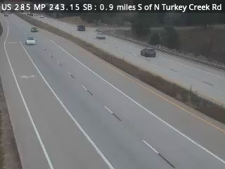
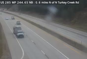
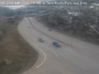
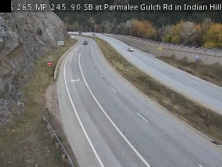
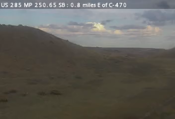
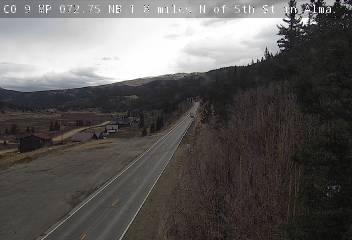
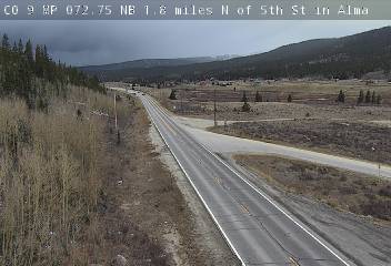
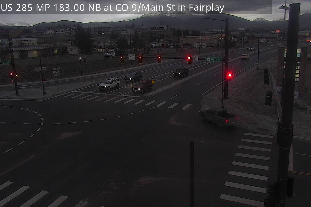
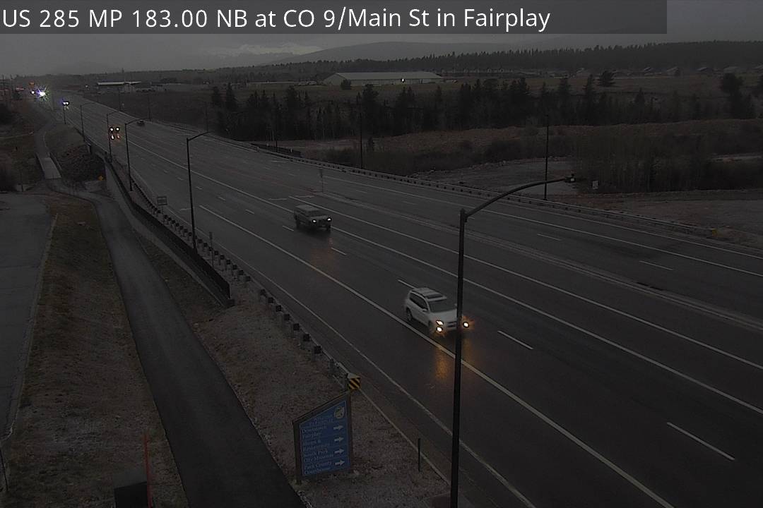
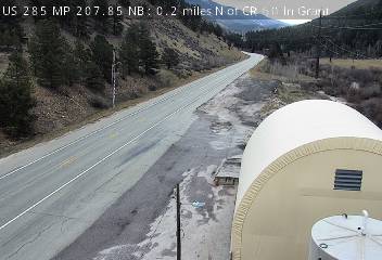
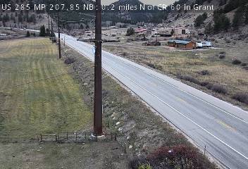
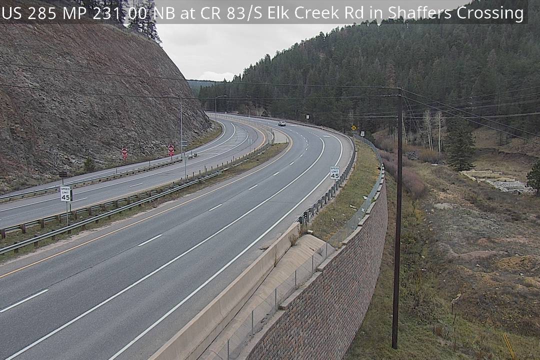
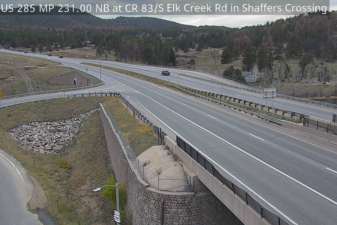
From Denver via US 285: Conifer, Kenosha Pass and Fairplay, then Highway 9 over Hoosier Pass 6 road segments Dry CDOT · Nov 4, 2:00 PM MST 2 reported events on this route (1 closure, 1 roadwork) Closure: CO 9 southbound: Right shoulder closed, due to road construction. Roadwork: CO 9 northbound: Road construction. Reported by CDOT. Reports refresh about every 10 minutes. US 285 MP 243.15 SB, 0.9 miles S of N Turkey Creek Rd · Camera: CDOT · official site US 285 · MP 243.1 US 285 MP 244.65 NB, 0.6 miles N of N Turkey Creek Rd · Camera: CDOT · official site US 285 · MP 244.7 US 285 MP 245.15 NB at Twin Forks · Camera: CDOT · official site US 285 · MP 245.1 US 285 MP 245.90 SB at Parmalee Gulch Rd in Indian Hills · Camera: CDOT · official site US 285 · MP 245.9 US 285 MP 250.65 SB, 0.8 miles E of C-470 · Camera: CDOT · official site US 285 · MP 250.6 CO 9 MP 72.75 NB, 1.8 miles N of 5th St in Alma (North) · Camera: CDOT · official site CO 9 · MP 72.8 CO 9 MP 72.75 NB, 1.8 miles N of 5th St in Alma (South) · Camera: CDOT · official site CO 9 · MP 72.8 US 285 MP 183.00 NB at CO 9/Main St in Fairplay (North) · Camera: CDOT · official site US 285 · MP 183 US 285 MP 183.00 NB at CO 9/Main St in Fairplay (South) · Camera: CDOT · official site US 285 · MP 183 US 285 MP 195.65 SB, 0.7 miles N of CR 34/Packer Ln in Jefferson (East) · Camera: CDOT · official site US 285 · MP 195.6 US 285 MP 195.65 SB, 0.7 miles N of CR 34/Packer Ln in Jefferson (Road Surface) · Camera: CDOT · official site US 285 · MP 195.6 US 285 MP 195.65 SB, 0.7 miles N of CR 34/Packer Ln in Jefferson (West) · Camera: CDOT · official site US 285 · MP 195.6 US 285 MP 207.85 NB, 0.2 miles N of CR 60 in Grant (North) · Camera: CDOT · official site US 285 · MP 207.8 US 285 MP 207.85 NB, 0.2 miles N of CR 60 in Grant (South) · Camera: CDOT · official site US 285 · MP 207.8 US 285 MP 231.00 NB at CR 83/S Elk Creek Rd in Shaffers Crossing (North) · Camera: CDOT · official site US 285 · MP 231 US 285 MP 231.00 NB at CR 83/S Elk Creek Rd in Shaffers Crossing (South) · Camera: CDOT · official site US 285 · MP 231 US 285 MP 232.55 NB, 0.2 miles N of Kings Valley Dr in Conifer (North) · Camera: CDOT · official site US 285 · MP 232.6 US 285 MP 232.55 NB, 0.2 miles N of Kings Valley Dr in Conifer (South) · Camera: CDOT · official site US 285 · MP 232.6 US 285 MP 235.65 NB at Kitty Dr in Conifer (North) · Camera: CDOT · official site US 285 · MP 235.6 US 285 MP 235.65 NB at Kitty Dr in Conifer (South) · Camera: CDOT · official site US 285 · MP 235.6 US 285 MP 241.10 NB, 0.4 miles N of Doubleheader Ranch Rd (North) · Camera: CDOT · official site US 285 · MP 241.1 US 285 MP 241.10 NB, 0.4 miles N of Doubleheader Ranch Rd (South) · Camera: CDOT · official site US 285 · MP 241.1 US 285 MP 245.55 NB at S Turkey Creek Rd at Indian Hills (North) · Camera: CDOT · official site US 285 · MP 245.6 US 285 MP 245.55 NB at S Turkey Creek Rd at Indian Hills (South) · Camera: CDOT · official site US 285 · MP 245.6 Show all 24 cameras
Whole highway: US 285 in Colorado , CO 9 in Colorado
All roads ↑
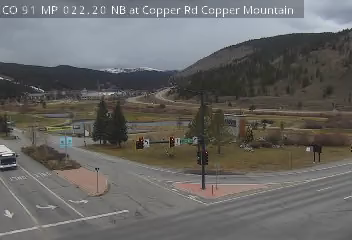
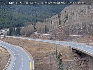
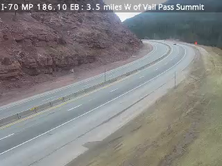
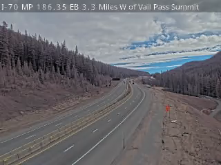
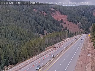
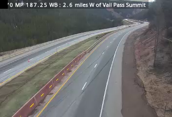
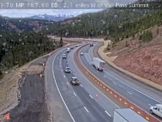
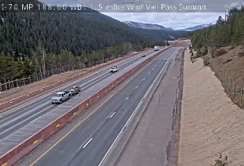
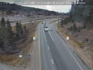
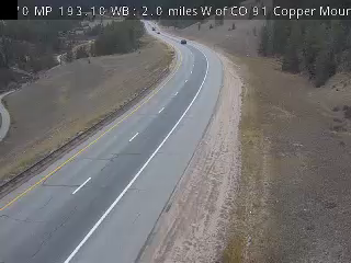
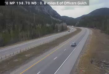
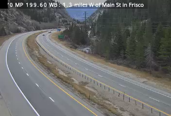
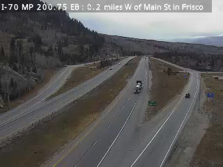
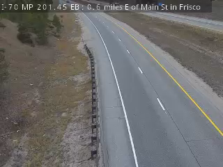
From Vail: I-70 over Vail Pass to Copper Mountain and Frisco 4 road segments Dry CDOT · Nov 4, 1:50 PM MST CO 91 MP 22.20 NB at Copper Rd in Copper Mountain · Camera: CDOT · official site CO 91 · MP 22.2 I-70 MP 185.00 WB, 4.8 miles W of Vail Pass Summit · Camera: CDOT · official site I-70 · MP 185 I-70 MP 186.10 EB, 3.5 miles W of Vail Pass Summit · Camera: CDOT · official site I-70 · MP 186.1 I-70 MP 186.35 EB, 3.3 miles W of Vail Pass Summit · Camera: CDOT · official site I-70 · MP 186.4 I-70 MP 186.80 WB, 3.1 miles W of Vail Pass Summit · Camera: CDOT · official site I-70 · MP 186.8 I-70 MP 187.25 WB, 2.6 miles W of Vail Pass Summit · Camera: CDOT · official site I-70 · MP 187.2 I-70 MP 187.80 EB, 2.1 miles W of Vail Pass Summit · Camera: CDOT · official site I-70 · MP 187.8 I-70 MP 188.60 WB, 1.5 miles W of Vail Pass Summit · Camera: CDOT · official site I-70 · MP 188.6 I-70 MP 189.15 WB, 1.0 mile W of Vail Pass Summit · Camera: CDOT · official site I-70 · MP 189.2 I-70 MP 189.45 EB, 0.7 miles W of Vail Pass Summit · Camera: CDOT · official site I-70 · MP 189.4 I-70 MP 189.45 WB, 0.7 miles W of Vail Pass Summit · Camera: CDOT · official site I-70 · MP 189.5 I-70 MP 190.10 EB at Vail Pass Summit · Camera: CDOT · official site I-70 · MP 190.1 I-70 MP 190.45 WB, 0.4 miles E of Vail Pass Summit · Camera: CDOT · official site I-70 · MP 190.4 I-70 MP 191.75 WB, 1.6 miles E of Vail Pass Summit · Camera: CDOT · official site I-70 · MP 191.8 I-70 MP 192.10 WB, 1.8 miles E Vail Pass Summit · Camera: CDOT · official site I-70 · MP 192.1 I-70 MP 193.10 WB, 2.0 miles W of CO 91 Copper Mountain · Camera: CDOT · official site I-70 · MP 193.1 I-70 MP 195.25 EB at CO 91 in Copper Mountain · Camera: CDOT · official site I-70 · MP 195.3 I-70 MP 195.85 WB, 0.6 miles E of CO 91 Copper Mountain · Camera: CDOT · official site I-70 · MP 195.9 I-70 MP 197.80 WB at Officers Gulch · Camera: CDOT · official site I-70 · MP 197.8 I-70 MP 198.40 EB, 0.5 miles E of Officers Gulch · Camera: CDOT · official site I-70 · MP 198.4 I-70 MP 198.70 WB, 0.8 miles E of Officers Gulch · Camera: CDOT · official site I-70 · MP 198.7 I-70 MP 199.60 WB, 1.3 miles W of Main St in Frisco · Camera: CDOT · official site I-70 · MP 199.6 I-70 MP 200.75 EB, 0.2 miles W of Main St in Frisco · Camera: CDOT · official site I-70 · MP 200.8 I-70 MP 201.45 EB, 0.6 miles E of Main St in Frisco · Camera: CDOT · official site I-70 · MP 201.4 I-70 MP 202.35 EB at CO 9 in Frisco · Camera: CDOT · official site I-70 · MP 202.3 I-70 MP 185.60 WB, 4.2 miles W of Vail Pass Summit · Camera: CDOT · official site I-70 · MP 185.6 Show all 26 cameras
More cameras and weather: Vail Pass
Whole highway: CO 91 in Colorado
All roads ↑
Highway 9 between Frisco and Breckenridge Hoosier Pass - Frisco Dry CDOT · Nov 4, 3:50 PM MST More from CDOT Segment CO 9, between 3rd Street (1 mile north of Fairplay) and I-70; County Road 1231 (Frisco) Forecast (NWS) Expect Heavy Snow Showers. Expect up to 7 inches of new snow accumulation. Wind gusts of up to 19 mph are expected. Offline in our latest checks: CO 9 MP 86.00 SB at River Park Dr in Breckenridge - last seen 16h ago
All roads ↑
US 6 to Keystone and Arapahoe Basin Silverthorne to Arapahoe Basin Dry CDOT · Nov 4, 1:52 PM MST More from CDOT Segment US 6, between I-70; CO 9 (Silverthorne) and I-70 (near Loveland Pass) Forecast (NWS) Chance of Light Snow Showers. Expect up to 2 inches of new snow accumulation. Wind gusts of up to 15 mph are expected. Loveland Pass Dry CDOT · Nov 4, 2:00 PM MST More from CDOT Segment US 6, between Montezuma Road and I-70 (Loveland Pass) Forecast (NWS) Chance of Light Snow Showers. Expect up to 2 inches of new snow accumulation. Wind gusts of up to 21 mph are expected. Roadwork: US 6 eastbound: Roadwork. · Reported by CDOT, updated 2d ago
Roadwork: US 6 eastbound: Roadwork. · Reported by CDOT, updated 2d ago
4 more reported events on this route (all closures) Closure: US 6 eastbound: Right shoulder closed, due to roadwork. Closure: US 6 westbound: Right shoulder closed, due to roadwork. Closure: US 6 westbound: Right shoulder closed, due to roadwork. Closure: US 6 eastbound: Right shoulder closed, due to roadwork. Reported by CDOT. Reports refresh about every 10 minutes. More cameras and weather: Loveland Pass Approach
Whole highway: US 6 in Colorado
All roads ↑
Put these Breckenridge and Summit County cameras on your own site Pick a size, click in its box, select all and copy, then paste into your page where the cameras should appear (in WordPress, a "Custom HTML" block). Live cameras first; free; the credit line stays. Previews and details .
Four cameras Two cameras One camera Highways to Breckenridge and Summit County Statewide road conditions More ski areas More in Colorado 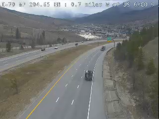
 Verified · 36m
 Verified · 1h
 Verified live · 59s
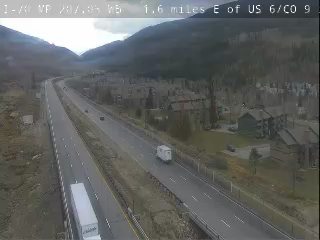 Verified · 20m
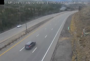 Verified · 36m
 Verified · 1h
 Verified · 36m
 Verified · 15m
 Verified · 46m
 Verified · 1h
 Verified · 32m
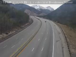 Verified · 5h
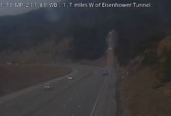 Verified · 16m
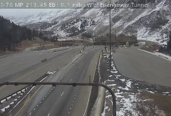 Verified · 1h
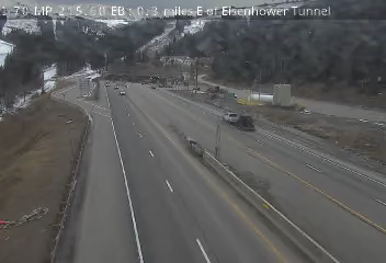 Verified · 50m
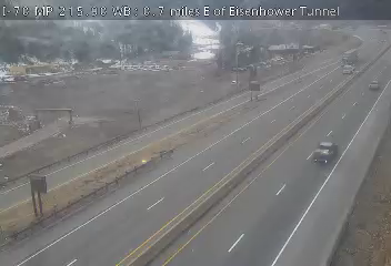 Verified · 55m
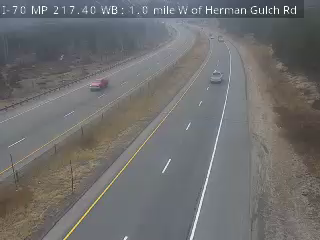 Verified · 26m
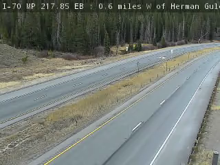 Verified · 14m
 Verified · 9h
 Verified · 46m
 Verified · 31m
 Verified · 32m
 Verified · 51m
 Verified · 36m
 Verified · 38m updates ~every 10 min
 Verified · 9m updates ~every 10 min
 Verified · 6h updates ~every 10 min
 Verified · 7h updates ~every 10 min
 Verified · 12m updates ~every 10 min
 Verified · 6m updates ~every 10 min
 Verified · 42m updates ~every 10 min
 Verified · 51m updates ~every 10 min
 Verified · 9m updates ~every 10 min
 Verified · 7h updates ~every 10 min
 Verified · 7h updates ~every 10 min
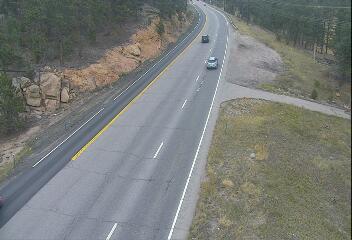 Verified · 51m updates ~every 10 min
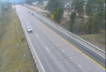 Verified · 51m updates ~every 10 min
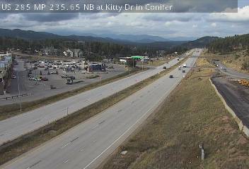 Verified · 27m updates ~every 10 min
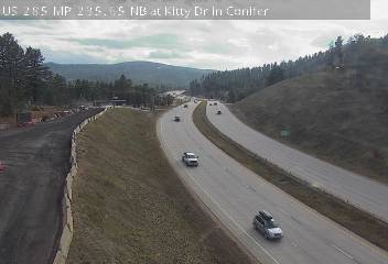 Verified · 55m updates ~every 10 min
 Verified · 1h updates ~every 10 min
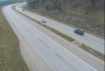 Verified · 36m updates ~every 10 min
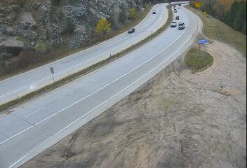 Verified · 36m updates ~every 10 min
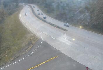 Verified live · 59s updates ~every 10 min
 Verified · 1h
 Verified · 6m
 Verified · 38m
 Verified · 52m
 Verified · 32m
 Verified · 18m
 Verified · 52m
 Verified · 37m
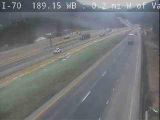 Verified · 55m
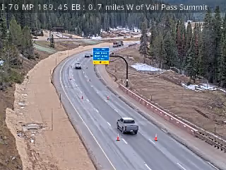 Verified · 50m
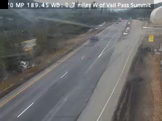 Verified · 43m
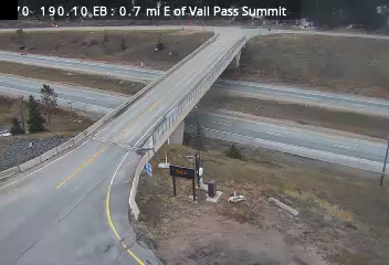 Verified · 13m
 Verified · 59m
 Verified · 1h
 Verified · 34m
 Verified · 25m
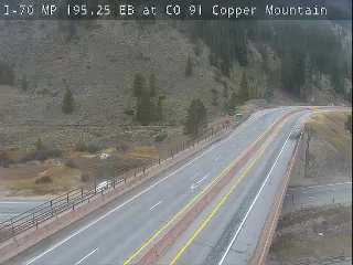 Verified · 4h
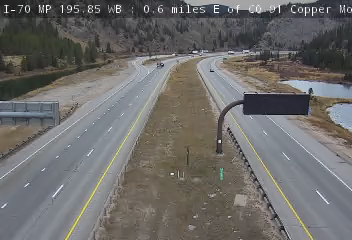 Verified · 36m
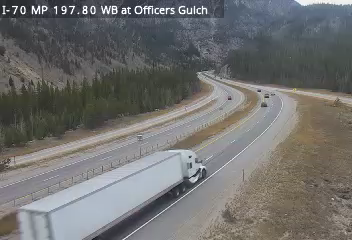 Verified live · 59s
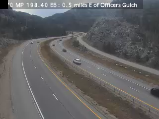 Verified · 4m
 Verified · 9h
 Verified · 44m
 Verified · 14m
 Verified · 42m
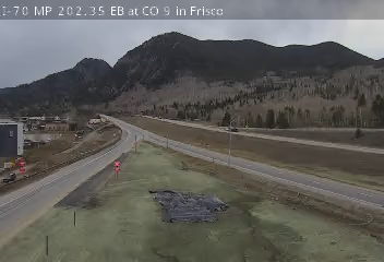 Verified · 1h
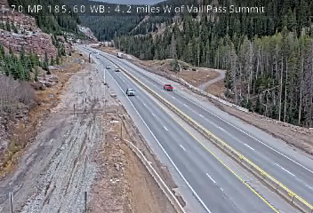 Verified · 1h updates ~every 10 min
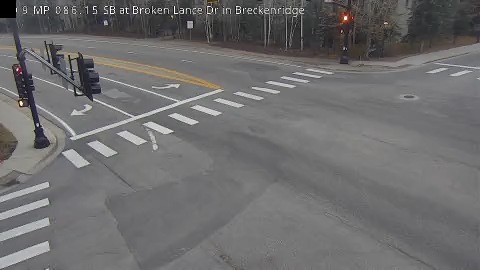 Verified · 16m
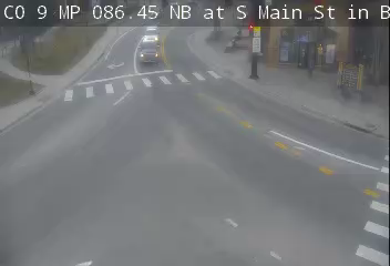 Verified · 1h
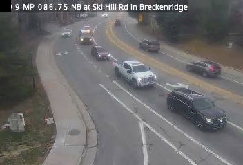 Verified · 21m
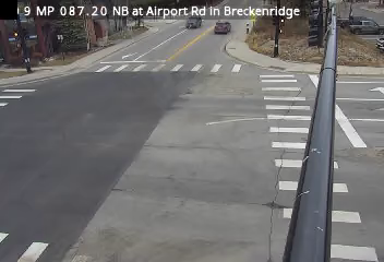 Verified · 7m
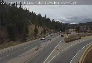 Verified · 39m
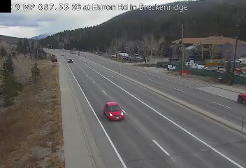 Verified · 46m
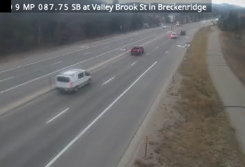 Verified · 1h
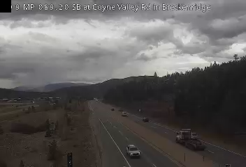 Verified · 37m
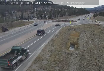 Verified · 47m
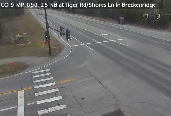 Verified · 36m
 Verified live · 59s
 Verified · 23m
 Verified · 7m
 Verified · 20m
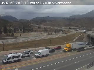 Verified · 51m
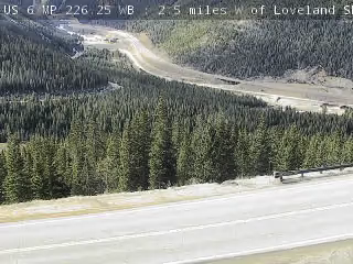 Verified · 59m