Washington Traffic Cameras - 1,571 Live WSDOT Cams
WSDOT and FAA WeatherCams publish 1,601 active camera feeds across Washington. 1,571 showed a live picture in the last 24 hours. See US DOT traffic camera statistics for every state's count.
Washington pass reports and road closures
Live right now across Washington
Official WSDOT and FAA WeatherCams feeds.
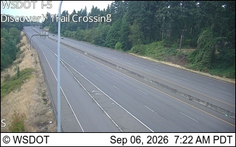 Verified live · 44s updates ~every 5 min
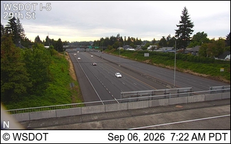 Verified live · 44s updates ~every 5 min
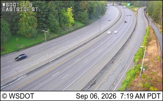 Verified live · 44s updates ~every 5 min
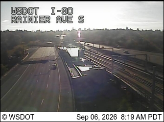 Verified live · 44s updates ~every 5 min
 Verified live · 44s updates ~every 5 min
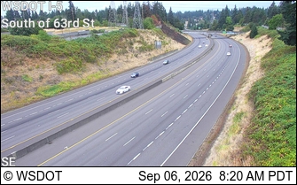 Verified live · 44s updates ~every 5 min
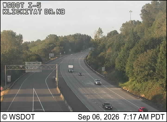 Verified live · 44s updates ~every 5 min
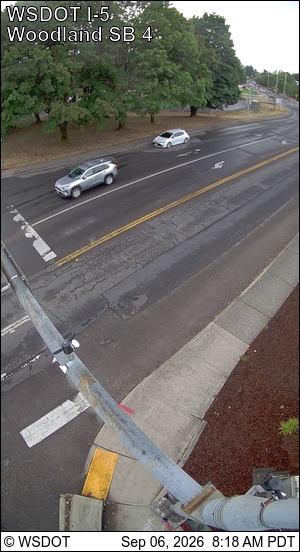 Verified live · 44s updates ~every 5 min
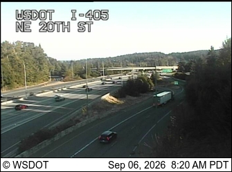 Verified live · 44s updates ~every 5 min
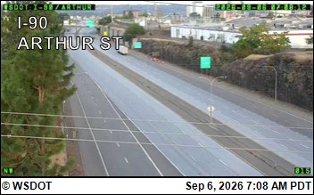 Verified live · 44s updates ~every 5 min
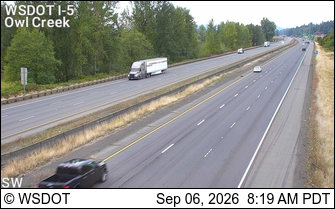 Verified live · 44s updates ~every 5 min
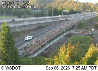 Verified live · 44s updates ~every 5 min
Cameras by route
Interstates
- I-5 379 of 384 live
- I-82 15 live
- I-90 153 of 155 live
- I-182 4 live
- I-205 25 of 27 live
- I-405 95 of 96 live
US Highways
- US 2 37 of 40 live
- US 12 18 live
- US 97 15 live
- US 97A 1 live
- US 101 12 of 15 live
- US 195 21 live
- US 395 31 of 32 live
- US 395 NSC 14 live
State Routes
- SR 3 10 live
- SR 4 2 live
- SR 7 6 live
- SR 9 25 live
- SR 14 28 live
- SR 16 25 of 26 live
- SR 17 6 live
- SR 18 22 live
- SR 20 26 live
- SR 24 1 live
- SR 26 17 live
- SR 28 9 live
- SR 31 1 live
- SR 96 5 live
- SR 99 29 of 30 live
- SR 104 12 live
- SR 105 1 live
- SR 112 1 live
- SR 155 1 live
- SR 161 3 live
- SR 167 52 live
- SR 169 6 live
- SR 171 1 live
- SR 181 3 live
- SR 202 13 live
- SR 203 4 live
- SR 204 1 live
- SR 221 1 live
- SR 240 6 live
- SR 243 1 live
- SR 285 4 live
- SR 290 1 live
- SR 291 9 live
- SR 302 1 live
- SR 303 1 live
- SR 305 2 live
- SR 307 1 live
- SR 410 8 live
- SR 432 15 of 16 live
- SR 433 6 live
- SR 500 21 live
- SR 502 16 live
- SR 503 11 live
- SR 504 1 live
- SR 507 1 live
- SR 509 11 of 12 live
- SR 512 7 live
- SR 515 1 live
- SR 516 7 live
- SR 518 7 live
- SR 520 51 live
- SR 522 24 live
- SR 525 14 live
- SR 526 4 live
- SR 527 7 live
- SR 529 4 live
- SR 530 1 live
- SR 531 7 live
- SR 532 8 live
- SR 536 1 live
- SR 539 13 live
- SR 543 5 live
- SR 599 3 live
- SR 900 4 live
- SR 8 0 of 1 live
- SR 109 0 of 1 live
Airports, ferries & local systems
- Airports 89 of 95 live
- Ferries 59 of 60 live
Washington DOT cameras, road conditions & 511
- Are these official Washington DOT cameras?
- Yes, along with FAA WeatherCams: WSDOT publishes the highway feeds and the FAA covers the weather-camera sites.
- How do I check Washington road conditions?
- Open a camera along your route for a live look at the pavement and weather. For closures and incident reports, see WSDOT. WSDOT
- Is this the same as Washington 511?
- Washington's 511 service publishes many of the same cameras alongside closure and incident reports. This page focuses on the cameras and links out for the rest.
Free email, every Monday
Weekly camera uptime digest
How many Washington cameras were verified live, stale, or dead, and how the week compared with the last. The same numbers as our uptime report, with the same caveats.
- Washington: 1,601 active cameras.
- Verified live right now: 1,560 (97.4%).
- 7-day check pass rate, and the change from the week before.
Built from the numbers on this page right now; Monday's email carries Monday's.
Passes, bridges, and tunnels in Washington
- Snoqualmie Pass cameras
- Stevens Pass cameras
- White Pass cameras
- Hood Canal Bridge cameras
- Astoria-Megler Bridge cameras
- Bridge of the Gods cameras
- Blewett Pass cameras
- Blue Bridge cameras
- Ship Canal Bridge cameras
- Lewis and Clark Bridge cameras
- Satus Pass cameras
- Stampede Pass Exit cameras
- Manastash Ridge cameras
- Sherman Pass cameras
- SR 520 Floating Bridge cameras
- Vantage Bridge cameras
- Loup Loup Pass cameras
- I-90 Floating Bridge cameras
- SR 99 Tunnel cameras
- Leavenworth cameras
- Tacoma Narrows Bridge cameras
- Mount Baker Ridge Tunnel cameras
Camera pages in Washington
Cities in Washington
- Seattle traffic cameras
- Auburn traffic cameras
- Bellevue traffic cameras
- Bellingham traffic cameras
- Bothell traffic cameras
- Burien traffic cameras
- Everett traffic cameras
- Federal Way traffic cameras
- Kennewick traffic cameras
- Kent traffic cameras
- All 26 Washington city cameras
Metro areas in Washington
Ferry terminals in Washington
- Anacortes Ferry Terminal cameras
- Bainbridge Island Ferry Terminal cameras
- Clinton Ferry Terminal cameras
- Coupeville Ferry Terminal cameras
- Edmonds Ferry Terminal cameras
- Fauntleroy Ferry Terminal cameras
- Friday Harbor Ferry Terminal cameras
- Kingston Ferry Terminal cameras
- Lopez Island Ferry Terminal cameras
- Mukilteo Ferry Terminal cameras
- Orcas Island Ferry Terminal cameras
- Point Defiance Ferry Terminal cameras
- Port Townsend Ferry Terminal cameras
- Southworth Ferry Terminal cameras
- Tahlequah Ferry Terminal cameras
- Vashon Ferry Terminal cameras
Airports & weather cameras in Washington
- Anacortes Airport weather cameras
- Arlington Municipal Airport weather cameras
- Auburn Municipal Airport weather cameras
- Bremerton National Airport weather cameras
- Chehalis-Centralia Airport weather cameras
- Deer Park Municipal Airport weather cameras
- Ed Carlson Memorial - S Lewis County Airport weather cameras
- Friday Harbor Airport weather cameras
- Hyak weather cameras
- Jefferson County International Airport weather cameras
- All 27 Washington weather cameras